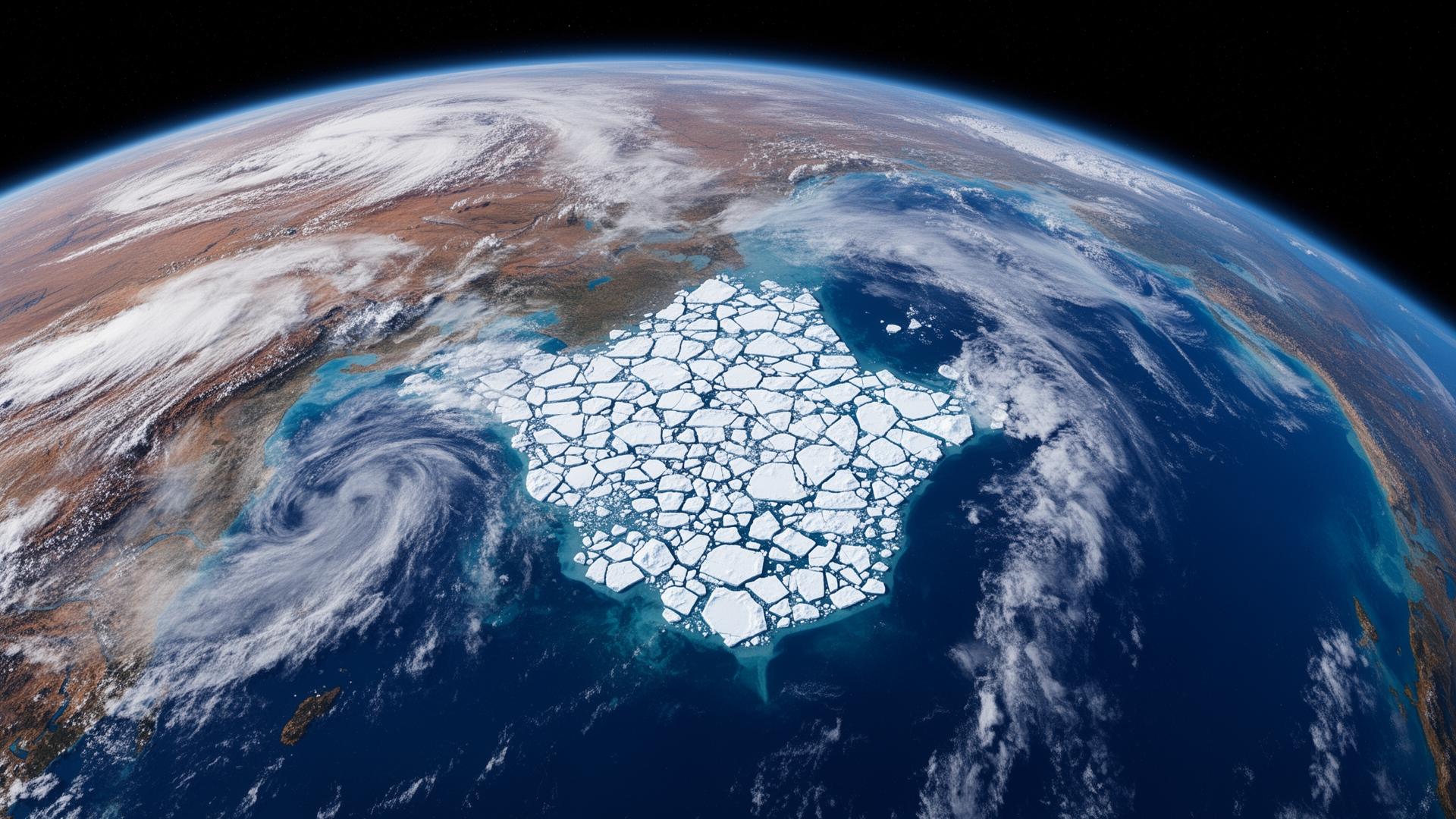
Environmental for the Caspian winter.
From sea ice on the North Caspian to weather radar over the steppe — Canatec-Eurasia runs the full chain: observation → integration → forecasting → decision support.
From orbit to operations room.
We don't just publish forecasts — we run an end-to-end environmental intelligence workflow tuned for the harshest seasons of the Eurasian winter. Satellite, radar, buoys and met masts feed a unified data platform; forecasters and AI turn raw observations into routing decisions, alerts and design statistics.
Buoys, met masts, weather radar, marine sensors and satellites form an integrated observation network across the Caspian, steppe and Arctic.
Real-time ingestion, QC, fusion and storage in a unified environmental data platform — ready for analytics and forecast assimilation.
Numerical weather, wave, ice and air-quality forecasts. Hindcasts, design statistics, ensembles and tactical short-range nowcasts.
Alerts, briefings, route advisories and dashboards delivered to operations rooms — risk turned into action.

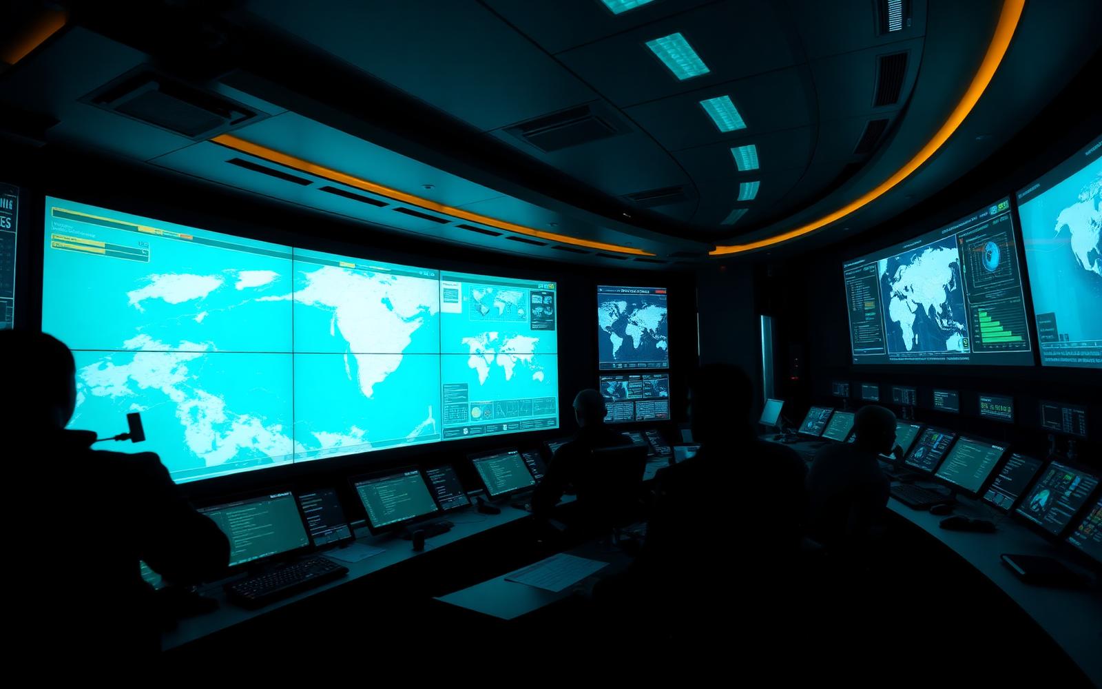
A single pane of glass for weather, ice, ocean and air.
Monitoring, forecasting, alerts, reporting and decision support — delivered as a managed service to operators, port authorities, government agencies and defence clients across Kazakhstan and the wider Caspian region.
Alerts & warnings
Configurable thresholds for wind, wave, visibility, ice and air quality with multi-channel delivery.
Tactical dashboards
Live maps for vessel routing, ice management, port operations and offshore HSE.
Hindcast & design data
Multi-decade reanalyses for engineering design, environmental impact and insurance.
24/7 forecaster desk
Human-in-the-loop forecasters delivering briefings in Russian, Kazakh and English.
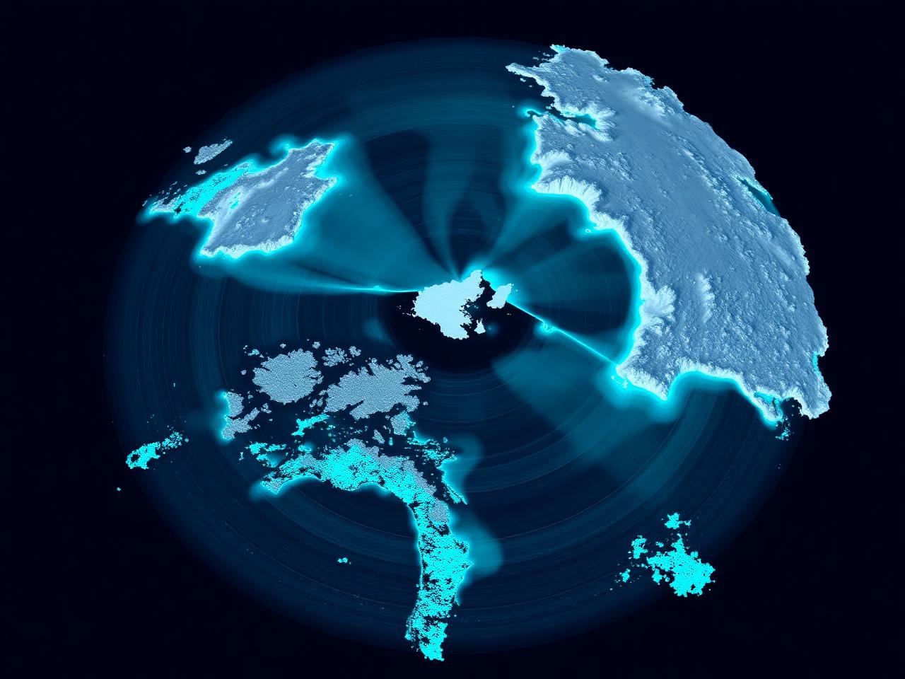
The Caspian's most demanding season — made navigable.
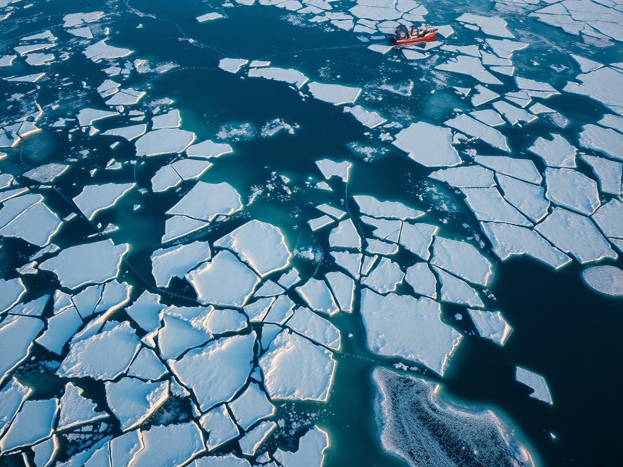
The North Caspian freezes for up to five months a year. Our sea-ice service combines SAR satellite data, in-situ buoys and numerical ice models to deliver the operational intelligence Caspian operators need from first ice to break-up and melting.
- Daily ice concentration & thickness charts (SAR-based)
- 72-hour ice drift & deformation forecasts
- Ridging, rubble and stamukha hazard mapping
- Ice-class route advisories for the North Caspian
- Break-up & freeze-up date probabilities
- Climatology, return periods & design ice loads
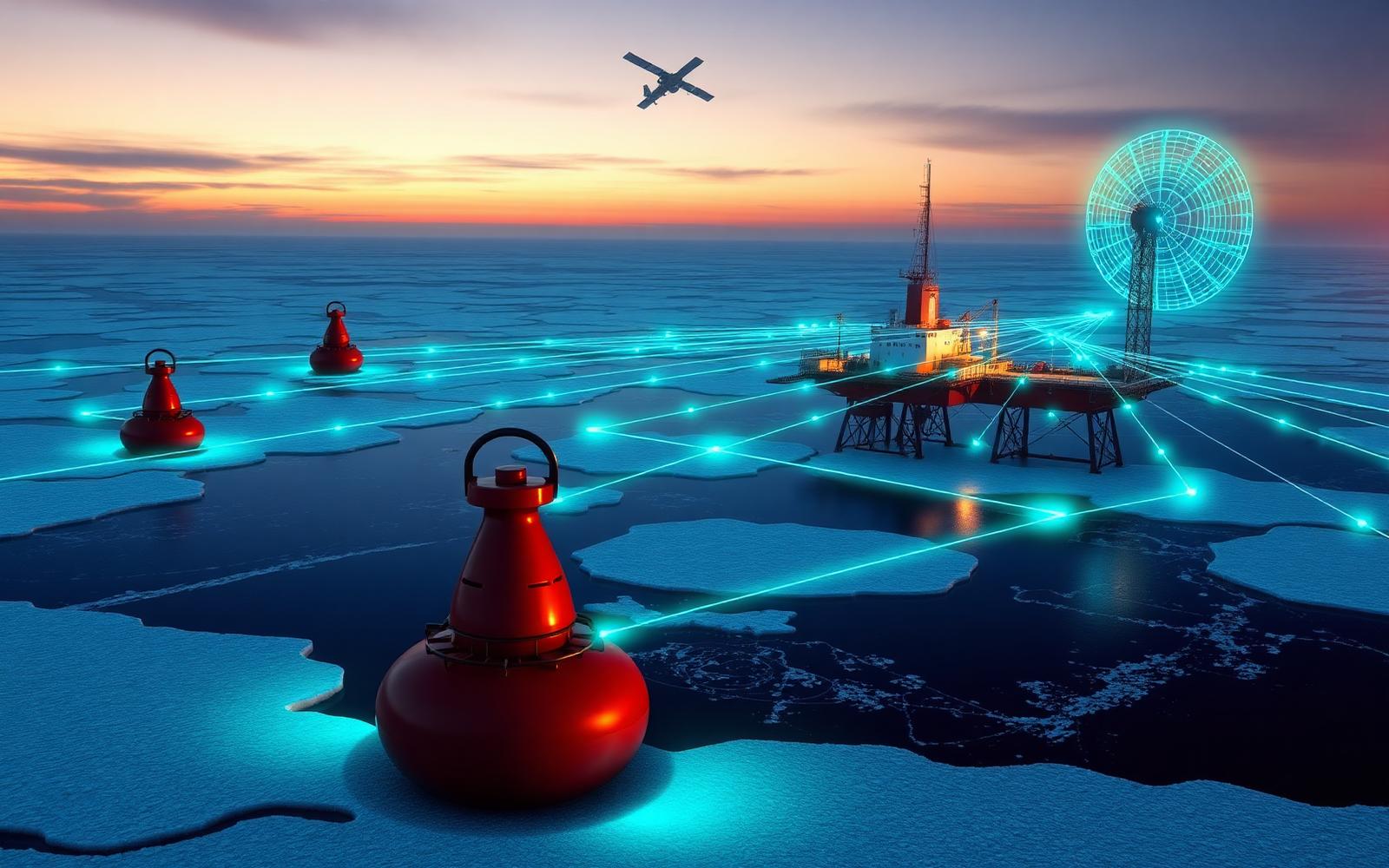
Buoys, masts, radar and satellites — one fused stream.
We design, deploy and operate atmospheric and marine measuring networks across the Caspian and Central Asia, fusing field observations with space-based sensing and a modern data platform. Reserved capacity supports our roadmap toward a full Environmental Digital Twin.
Marine sensors
Wave buoys, ADCPs, CTDs, ice-mass-balance buoys and met-ocean platforms.
Atmospheric network
AWS stations, ceilometers, radiosondes, weather radar and PM/gas air-quality monitors.
Space segment
Sentinel-1/3, RADARSAT, MODIS, VIIRS and tasked commercial SAR.
AI fusion layer
ML-assisted QC, data assimilation, gap-filling and anomaly detection.
Scientific rigor.
Operational discipline.
Canatec-Eurasia is a Metocean and Environmental Operations Platform serving the Caspian, Central Asia, the Arctic and adjacent regions. We combine deep technical specialisation with cross-discipline collaboration to deliver data, forecasts and decision support — not just consulting reports.
Three integrated technical pillars — ocean, ice & metocean, geotechnical engineering and remote sensing & AI — work together to solve specific, high-consequence problems.
Headquartered in Almaty with offices in Astana and Atyrau, with collaborative relationships at Nazarbayev University and KIMEP.
Decision support across land, sea, ice and space.
Energy & Offshore
Caspian operators rely on us for ice management, metocean design and winter readiness.
Maritime & Ports
Vessel routing, ice escort planning and port environmental operations from Aktau to Bautino.
Government & Defence
Environmental intelligence, MDA and space-based monitoring for sovereign capability.
The full environmental intelligence stack.
Ocean, Ice & Metocean
Managing atmospheric & marine observation networks; numerical modelling and forecasting of meteo-oceanographic conditions; design metocean assessments for the Caspian and Arctic margins.
Sea Ice Intelligence
Ice concentration, thickness, drift, ridging and risk for the North Caspian. Tactical & strategic forecasts that support vessel routing, ice management and winter operations.
Environmental Operations
24/7 monitoring, alerts, briefings and decision support — a turnkey Environmental Operations Center for energy, marine and infrastructure clients.
Radar & Remote Sensing
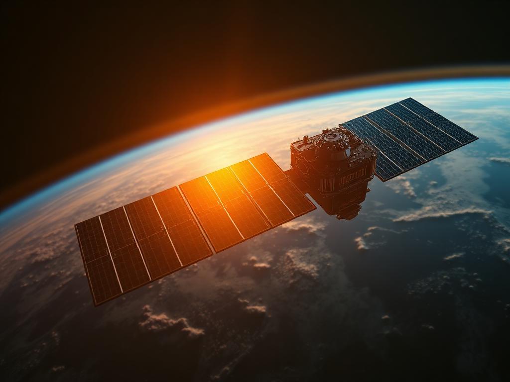
SAR, GPR, multifunction & multistatic radar; phased arrays and GNSS reflectometry for surveillance, environmental and infrastructure intelligence.
AI & Digital Twin
Deep learning for geospatial and metocean data, satellite telemetry analysis, MLOps and digital-twin platforms for environmental decision support.

Space & Earth Observation
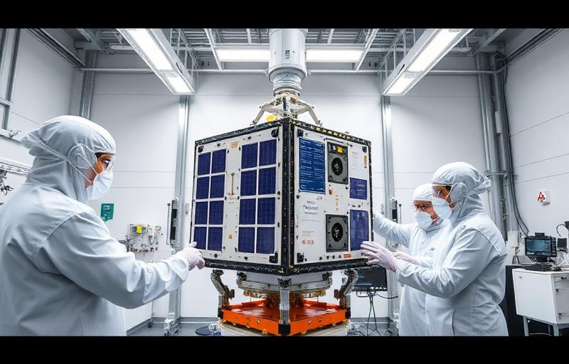
CubeSats, SDR, satellite communications and ground segment — from earth-observation tasking to validated data products.
What our partners say.
“Their North Caspian ice forecasts have become a reference for our winter operations.”
“Canatec-Eurasia delivered a metocean platform that genuinely changed how we plan offshore campaigns.”
“The integrated observation network gave us situational awareness we simply didn't have before.”

Plan your winter ops with confidence.
Tell us about your Caspian, Arctic or Central Asian mission — we'll show you the forecast, the data and the decision support that wrap around it.
Start a conversation