End-to-end environmental intelligence from orbit to operations room.
Six interlocking practice areas — observation, modelling, AI, geotechnics and imagery — delivered as a single integrated platform.
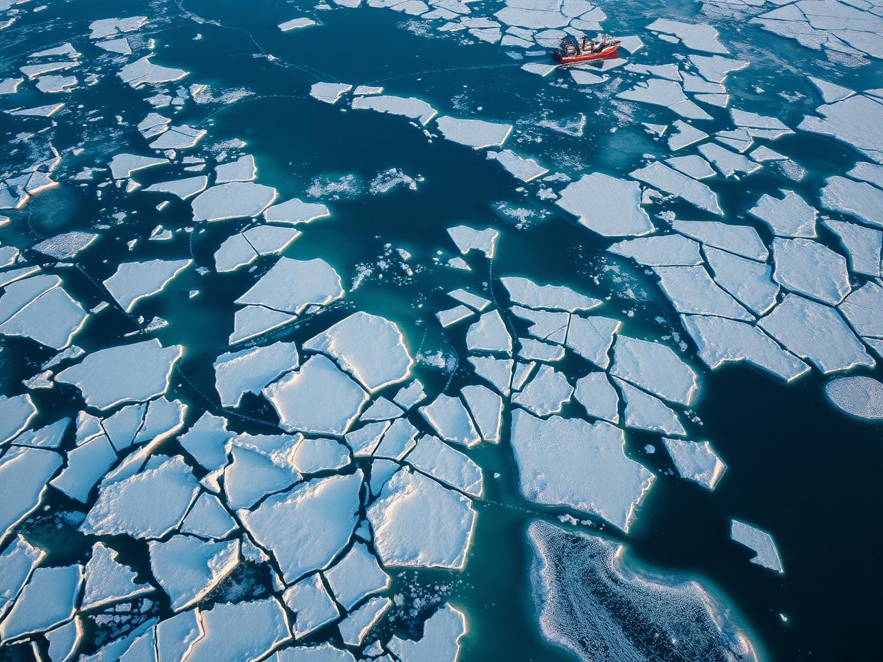
Ocean & Ice Engineering
Meteorology & oceanography — managing atmospheric and marine measuring networks, numerical wave and ice modelling, ice-load design, route advisory and winter operations support across the North Caspian.
Weather Radar & Nowcasting
Doppler weather radar, lightning networks and AI-driven 0–6h nowcasting for airports, ports and oilfields — Aktau, Atyrau, Astana and beyond.
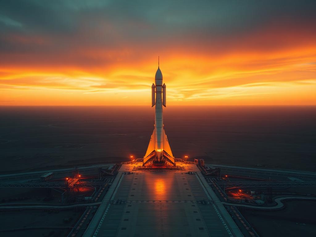
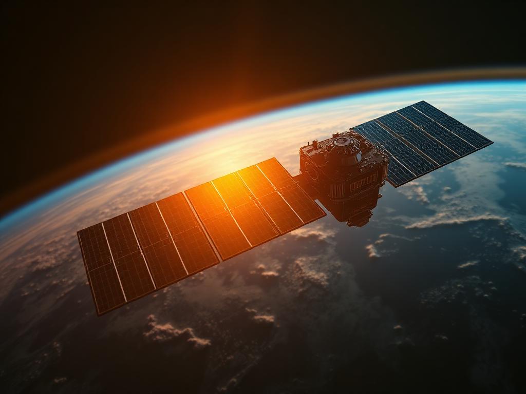
Earth Observation & Space
Satellite tasking, SAR & optical processing, CubeSat ground segment design and integration with national space programmes.
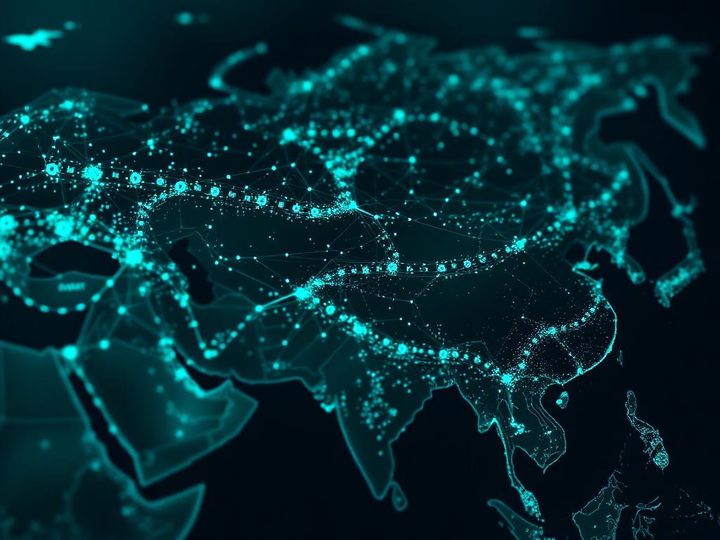
AI & Decision Support
Machine-learning forecast post-processing, automated alerting, and operations-room dashboards that turn environmental data into action.
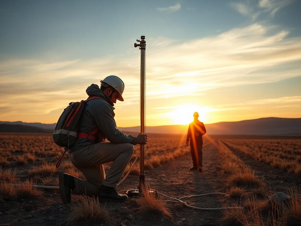
Geotechnics & Permafrost
Site investigations, permafrost monitoring and ground-truthing for pipelines, roads and arctic infrastructure.
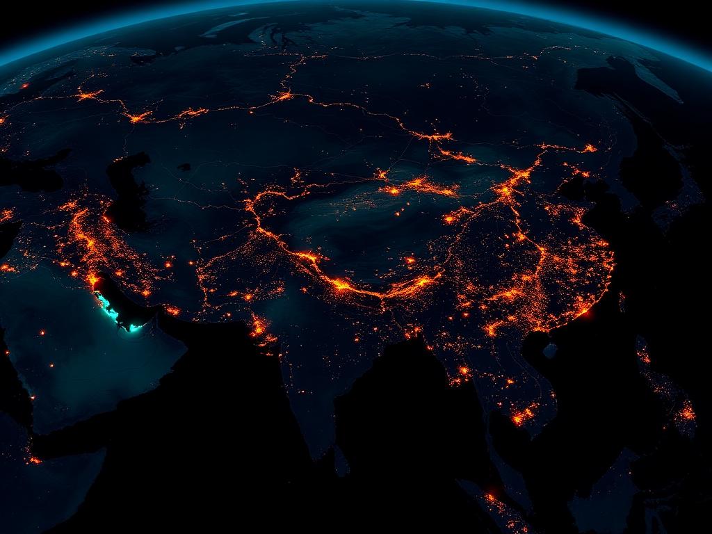
Imagery & Geospatial Intel
Multi-source imagery fusion, change detection, and tactical geospatial intelligence for defence and security clients.
A repeatable workflow for every engagement.
Buoys, met masts, weather radar, marine sensors and satellites form an integrated observation network across the Caspian, steppe and Arctic.
Real-time ingestion, QC, fusion and storage in a unified environmental data platform.
Numerical weather, wave, ice and air-quality forecasts plus hindcast statistics.
Alerts, briefings, route advisories and dashboards delivered to operations rooms.